Growing pains
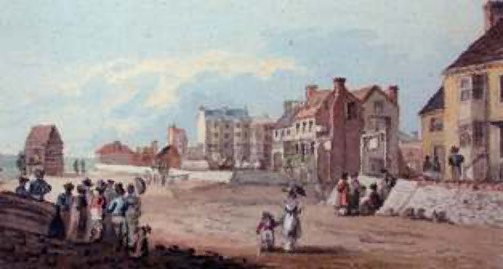
FROM 1800 onwards, the development of Worthing was very rapid and, at times, too rapid.
A visitor to the town, writing to a friend in 1803, said: “The people of Worthing are growing building-mad and it will soon become a second Brighton.”
In fact, that did not happen. When the inevitable slump came a few years later, many grandiose building schemes for Worthing were abandoned, leaving unfinished terraces with a ragged appearance that, despite recent remedial work, is still visible today.
But that was not foreseen at the time, and the town moved into the 19th century with what one historian called “rosy prospects”.
Between 1803 and 1805, six streets were laid out and at the time named as Montague Place, Bedford Row, Copping’s Row, Beach Row, Hertford Street and Brook Street. They were the foundations on which modern Worthing was built.
The first seven houses in Montague Place – five of which were supposed to have been occupied by Princess Amelia, daughter of King George III, in 1798 – were certainly in existence much earlier.
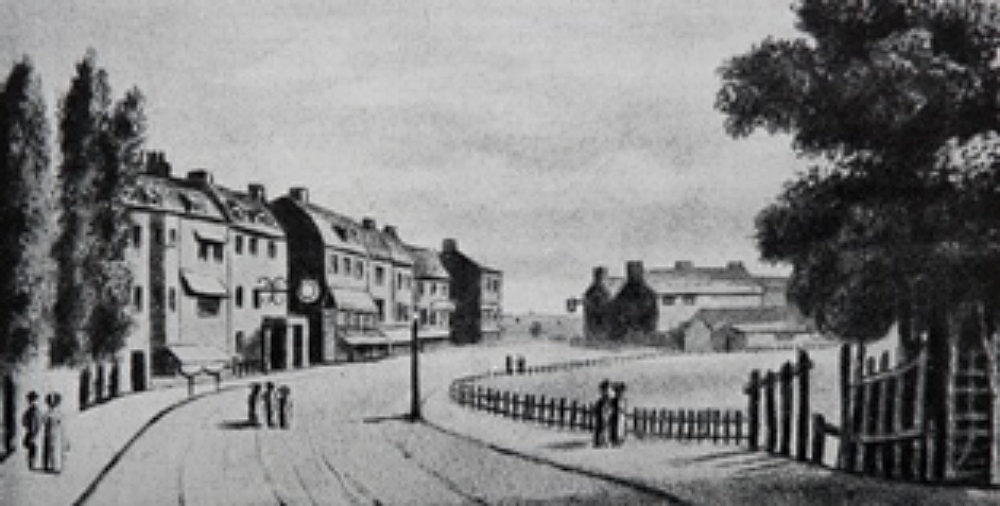
Bedford Row is the one street still retaining much of its original appearance today, though the extensive lawns created in front of the houses are now almost entirely covered by the Dome Cinema and a bus garage.
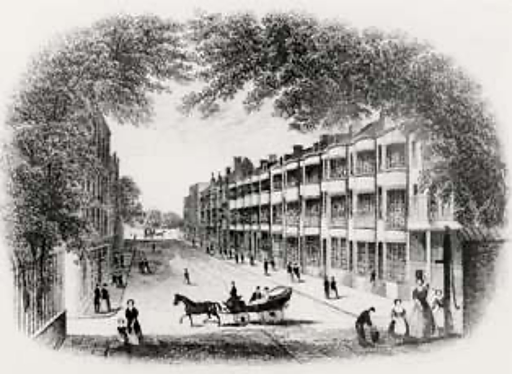
Copping’s Row was named after John Copping, a local carpenter, and later became Marine Place. It originally consisted of a row of good-class lodging houses but these soon deteriorated into small business premises, fishermen’s houses and stables.
Today, the backs of shops in South Street occupy the site.
Brook Street was later renamed South Place, a strange, unimportant little thoroughfare to be listed as one of the original amenities of the town.
Beach Row and Hertford Street can no longer be identified and the latter certainly has no connection with the road of that name which was not built until around 1880.
Until the beginning of the 19th century, Worthing was governed as part of the parish of Broadwater, but with the rapid growth and changing character of the town, it became necessary to create an authority to deal with its particular problems.
So in 1803 the Worthing Town Act was passed, setting up a Board of Town Commissioners with the power to levy rates, undertake lighting, paving, draining and policing of the town.
The preamble of the Act stated that the hamlet of Worthing should, in future, be known as the town of Worthing.
One of the first tasks of the new Board was to make a survey of the town’s streets, set out new ones, improve existing roads and lay down covered drains in place of the foul open ditches that had previously served this purpose.
At the second meeting of the Commissioners, held at the Nelson Inn in South Street on June 29, 1803, it was decided to lay a brick drain from the north side of Cross Lane – later to become Montague Street – up South Street, Warwick Street, High Street, West Street – today’s North Street – and North Street – now the north end of Chapel Road – into Teville Pond, with cesspools every hundred feet.
This was virtually the length and breadth of Worthing as it then existed.
In 1813, the first seal was set on the shape and size of the town by performing the ancient ceremony of treading the bounds.
The Town Commissioners, accompanied by boys of the Worthing Free School – who had been given a holiday for the purpose – set out to walk the town boundaries, accompanied by several of the oldest inhabitants to give testimony at doubtful points.
Following age-old custom, the boundaries were beaten with long sticks. In some cases, the schoolchildren were also beaten, at least in token, to impress the limits of the town upon their memory.
Having completed the circuit of the town, the Commissioners assembled at the Royal George and recorded the event in their minutes.
Thomas Burden, a farmer and part-time surveyor, was asked to draw a plan in accordance to the day’s perambulations and on June 17, 1814, it was ordered that three boundary posts should be set up at low water mark, “one opposite the east end of Warwick Buildings, one opposite the centre of the town and one opposite the west end thereof, to mark the southern boundary of Worthing, as ascertained at the perambulations on 26th December 1813.”
It was with such simple ceremony that modern Worthing, today the largest town in West Sussex, came into being.