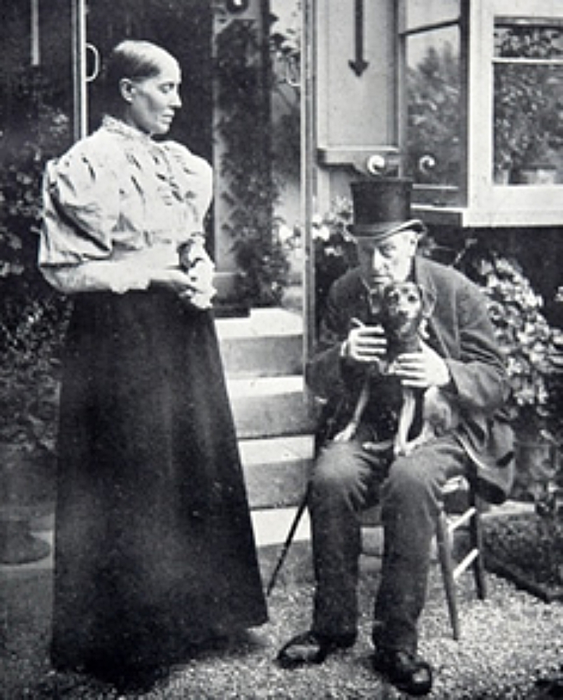
Memories of Edward Snewin
IN EDWARD SNEWIN’S young days, Worthing was little more than a single road called Worthing Street. This was later renamed High Street and at the top end, near the Swan Hotel, was Tanner’s Lane.

In those days, Warwick Street, South Street, Cross Lane (now Montague Street) and East Lane (today’s Brighton Road) were mere farm tracks. Except for one or two isolated farmhouses, Worthing Street contained all the buildings in the village.
HOW sparse our knowledge of Worthing in the 19th century would be if amateur historian Hubert Edward Snewin had not put pen to paper at the age of 85 and recorded these and numerous other personal memories of the town and some of its residents.
Snewin had a remarkably retentive memory and was able to recall events and people who lived 80 years earlier with a clarity that would have been the envy of Samuel Pepys. The second generation of a well-known local building firm that had been founded by his father, John Snewin, in 1807, Hubert Edward Snewin also left us details of almost every Worthing building and its occupants in those far off days.
The life and memories of Edward (as the son was best known) spanned a tumultuous period in British history, from just before the Battle of Waterloo to the relief of Mafeking in the Boer War.
It coincided with the rise of Worthing from a tiny fishing hamlet to flourishing seaside resort.
Snewin penned not so much an historical text book but a combination of rambling historical records and low-key gossip but his descriptions conjured up a unique picture of old Worthing, which at the time he was born was still only a minor adjunct to the village of Broadwater.
The oldest house in Worthing at that time had been built in 1762, beside the junction of today’s High Street and Lyndhurst Road. It remained in place until after World War Two, when it made way for an extension to Searle’s Garage. Today, a Waitrose supermarket occupies the site. In Snewin’s young days, Worthing was approached from Broadwater by way of South Farm Road, then called Brookstead Lane. This was the early 1800s, when a miller by the name of Thomas Moore built a windmill at the junction of South Farm Road and Teville Road.
Another rough track followed an embankment along the seafront to the separate village of Heene.
The land between Heene and Worthing was known as the West Field, the area eastwards from High Street to Ham Lane as Middle or Home Field (from which today’s Homefield Park and Homefield Road are derived) and from Ham Lane east-wards to Lancing was East Field.
South of the present shoreline was a broad stretch of pastureland known as the Worthing Common or Salt Grass. “Here”, Edward Snewin recalled, “were one or two small houses, an inn and a building where the Court of the Manor was held.”
Worthing Common gave up fine clay that was used for making the light cream-coloured bricks of which some of the oldest houses in Worthing were built.
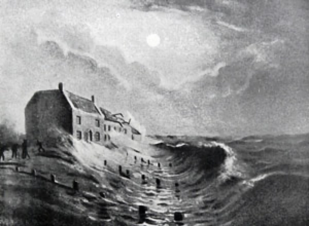
Unfortunately, the policy of allowing this clay to be dug, as well as the extensive removal of shingle for road making during the early part of the 19th century, accelerated systematic erosion by the sea.
From numerous references to Worthing Common in the earliest local guide books we can calculate that between the years 1700 and 1821, when the Esplanade was built and sea defence work first undertaken, up to 300 yards of land opposite the central part of Worthing were washed away.
Serious erosion further east, opposite the Half Brick Hotel, was to come later.
Charles Hide’s survey in 1838 showed that the Lancing Turnpike Road, at the southern end of Ham Road, originally ran between 60 and 100 yards south of the present Brighton Road and that at least 70 yards of land (probably considerably more) was lost to the sea at this point.
There was once a significant promontory here on which cattle was grazed. The Half Brick inn itself, together with the neighbouring East Worthing coastguard station, had been washed away, probably twice, in the previous 100 years.
To the west, sea encroachment removed a considerable part of Heene and the coast road into Worthing was swallowed up twice in 12 years.
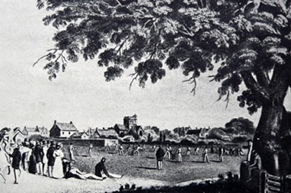
A Surrey historian visiting Worthing in 1827 wrote that he went with “an ageing local” to the high watermark point on Worthing beach, where the man recalled that 50 or 60 years earlier he regularly played cricket on the ground where they now stood.
In this earliest reference to cricket being played in Worthing, the man added: “The sea was then at such a distance that no one ever struck a ball into it.”
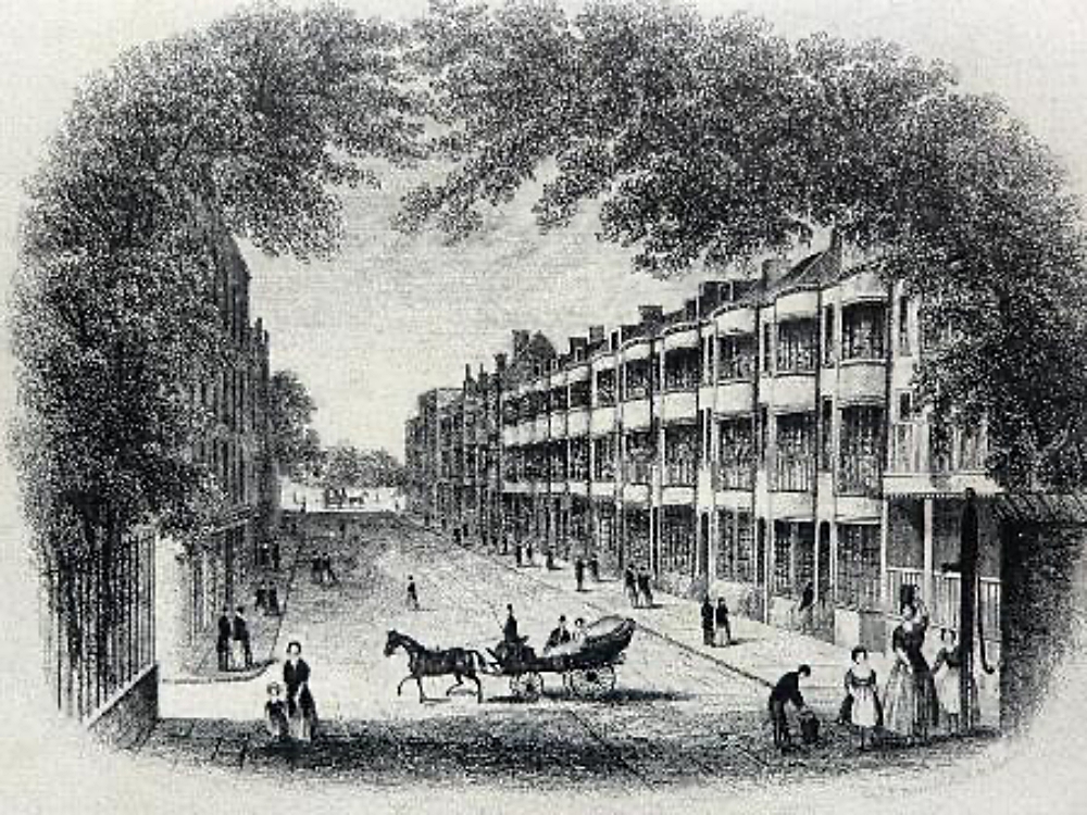
Worthing evolved from village to town during Edward Snewin’s lifetime and some of the most attractive additions he watched being built are still with us today.
For example, Snewin watched the building of Liverpool Terrace in 1826. He particularly enjoyed the pleasure garden built in front of the terrace by its owner, John James.
To the north of Liverpool Terrace, Ambrose Place had already been built (in 1812) together with the Chapel of Ease (which later became St Paul’s Church). Nearby Christ Church was not built until 1843.
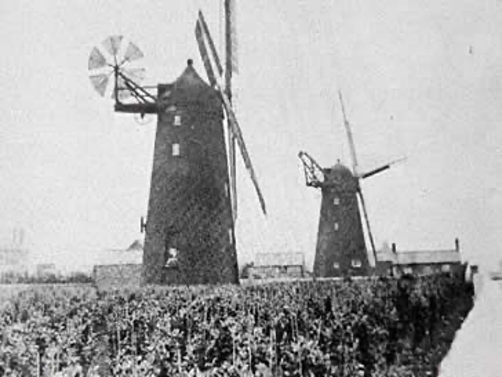
In those days, windmills were springing up in several parts of the expanding town and cattle peacefully grazed in Chapel Fields, which belonged to Richard Robinson, the carrier, who owned cattle stalls in Ann Street. His animals passed to and fro daily across Chapel Road to the back of the old Town Hall.
It was in 1854 that a local doctor named Barker (who wrote a book on the climate of Worthing) proposed that the adjacent South Street Fields should be purchased as a public park, though this was never done.
Instead, the Chapel Road Fields were sold in 1866 for commercial development and building – mostly of houses – commenced soon afterwards.
In his youngest days, Edward Snewin had witnessed the development of South Street, one of the oldest built-up streets in Worthing, where most of the premises on the east side had bow windows. The Nelson Hotel, which can be traced back at least to 1796, was the last to retain these.
Snewin often collected water from the parish pump, a very important piece of town property situated at the northern end of South Street, just in front of the old Town Hall.
There were several public wells in Worthing around that time, another being situated at the junction of Warwick Street and High Street. These supplied the town with water, prior to completion of the first Waterworks in 1857.
But Edward Snewin’s memory went back much further and he recalled some of his oldest friends telling him about the Whales of Wealds Pond, which took its name from the Wealds Field, once the property of Sir Bysshe Shelley. This Snewin described as “very dirty” even for those days – as were several adjacent tumble-down thatched cottages.
Worthing arose from such unpromising beginnings and in copious notes, Edward Snewin recorded it all.